In the atmosphere, air masses are constantly moving. In general, most movements occur horizontally, parallel to the Earth’s surface, resulting in the development of fronts. However, some movements take place perpendicular to the Earth’s surface, that is, vertically. The air masses then form anticyclones or cyclones, which are meteorological systems determining the weather in a region during a given period. Studying the formation and behaviour of these systems has led to the development of weather forecast models based mainly on changes in atmospheric pressure.
|
|
Depression |
Anticyclone |
|
Mass of air moving |
Mass of warm air rising in altitude |
Cold air mass moving towards the ground |
|
Direction of rotation |
Counterclockwise in the Northern Hemisphere |
Clockwise in the Northern Hemisphere |
|
Atmospheric conditions |
Unstable conditions: precipitation and winds, risk of storms |
No (or few) clouds: broken sky and rather dry air |
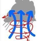
A cyclone, or depression, is an area of atmospheric circulation that unfolds around a low pressure centre.
When an air mass heats up, its density decreases. The less dense air mass rises to higher altitudes leaving a void beneath it. This is where the low pressure area forms.
The Coriolis effect causes the air around a low-pressure area to rotate counterclockwise in the Northern Hemisphere and to rotate clockwise in the Southern Hemisphere.
Since depressions lower the air temperature, the water in the air condenses, causing clouds to form. Depressions therefore generally bring bad weather and overcast skies, in addition to various meteorological phenomena such as showers, thunderstorms, hurricanes, or storms.
When cyclone winds become stronger, the meteorological phenomena associated with the cyclone can be amplified. From a simple cyclone, the winds can increase to form a tropical cyclone, a tropical storm or a hurricane.
A hurricane is the most imposing form that a cyclone can take.
Depending on the region in which they occur, hurricanes are named differently:
-
When they form in the Atlantic Ocean or in the North-East Pacific Ocean, they are hurricanes;
-
When they form in the Indian Ocean, they are tropical cyclones;
-
When they form in the Western Pacific Ocean, they are typhoons.

For a hurricane to occur, three conditions must be met:
- Atmospheric conditions conducive to the formation of a storm;
- An ocean water temperature of at least 26 ºC at a depth of 60 m, which is the source of energy for the hurricane;
- The presence of a strong tropical cyclone.
When these three conditions are met, the wind velocity determines the meteorological phenomenon that will occur. Cyclones and tornadoes
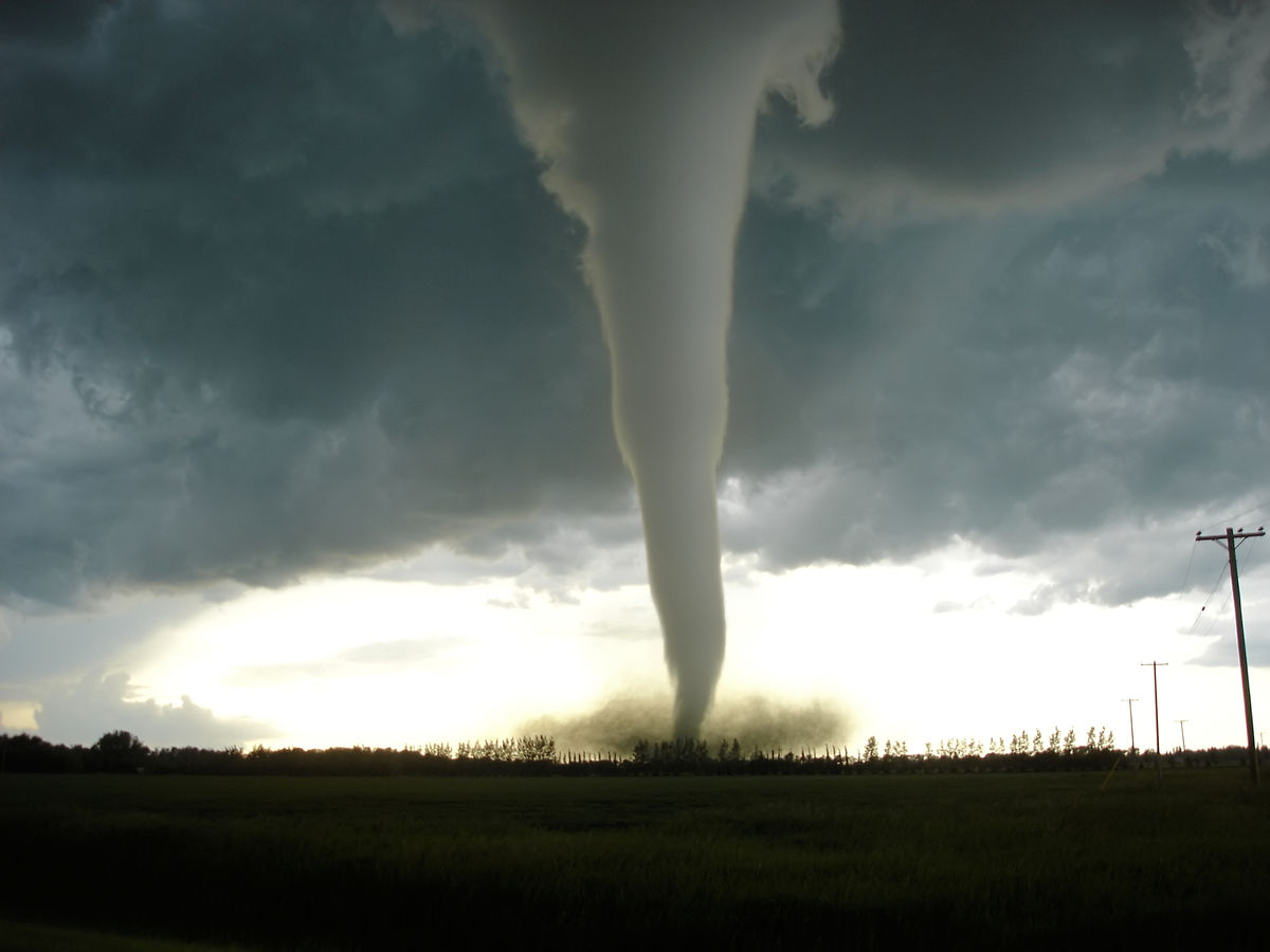
A tornado is a violent, rotating column of air that forms between the base of a cloud and the ground.
A cyclone forms in the oceans, while a tornado forms at the base of a storm cloud. In addition, tornadoes can form on the ground, often in uninhabited areas.
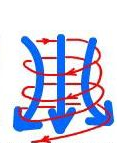
An anticyclone is an area of atmospheric circulation that unfolds around a high pressure centre.
When the air cools, the molecules move closer to each other. There are then more air molecules in the same volume. The density of cold air increases, causing the air to become heavier. This air compresses the particles that are under it. An anticyclone is then created.
The Coriolis effect causes the air around a high-pressure area to rotate clockwise in the Northern Hemisphere (as shown in the image below) and to rotate counterclockwise in the Southern Hemisphere.
High-pressure systems usually bring good weather and clear skies. In addition, these systems help to dispel clouds and prevent the development of precipitation. Because anticyclones often move very slowly, fair weather can last for several days.


